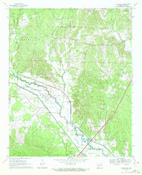
1970 Map of Hollywood
USGS Topo · Published 1972About this map
Hollywood stands as a focal point in Clark County, Arkansas, during this 1970 survey. The landscape is defined by the winding course of Terre Noire Creek, which is flanked by an extensive network of drainage infrastructure including the North Boat Ditch, South Boat Ditch, and Missouri Boat Ditch. This system suggests a historical effort to manage the low-lying bottomlands for agriculture or transport.
Find a feature on this map
41 named features on this map. Tap any name to fly to it.
Don’t see what you’re looking for? This feature index may not catch every label — zoom into the map to look around manually.
Map Details
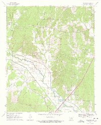
Editions of this 1970 Hollywood Map
2 editions found
Other maps of this area

1901 · Gurdon
USGS Topo · 1:125,000

1943 · Antoine
USGS Topo · 1:62,500

1953 · El Dorado
USGS Topo · 1:250,000

1955 · Little Rock
USGS Topo · 1:250,000

1956 · Little Rock
USGS Topo · 1:250,000

1957 · El Dorado
USGS Topo · 1:250,000

1958 · El Dorado
USGS Topo · 1:250,000

1959 · Caddo Valley
USGS Topo · 1:24,000

1959 · Arkadelphia
USGS Topo · 1:24,000

1960 · El Dorado
USGS Topo · 1:250,000