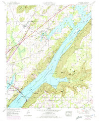
1947 Map of Hollywood
USGS Topo · Published 1972About this map
Guntersville Lake dominates this mid-century landscape where the Tennessee River winds through Jackson County. The terrain is defined by the prominent Backbone Ridge and high points like Poorhouse Mtn and The Pinnacle. Cultural details from the 1947 field survey, updated with 1970 aerial data, reveal a mix of traditional river life and modern infrastructure, including the Comer Bridge crossing and the Lee Highway corridor.
Find a feature on this map
65 named features on this map. Tap any name to fly to it.
Don’t see what you’re looking for? This feature index may not catch every label — zoom into the map to look around manually.
Map Details
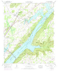
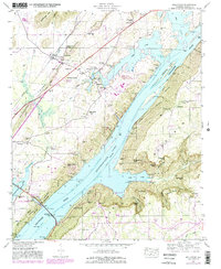
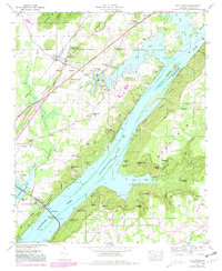
Editions of this 1947 Hollywood Map
4 editions found
Other maps of this area

1886 · Stevenson
USGS Topo · 1:125,000

1888 · Scottsboro
USGS Topo · 1:125,000

1892 · Scottsboro
USGS Topo · 1:125,000

1892 · Stevenson
USGS Topo · 1:125,000

1895 · Stevenson
USGS Topo · 1:125,000

1936 · Scottsboro
USGS Topo · 1:24,000

1936 · Wannville
USGS Topo · 1:24,000

1936 · Langston
USGS Topo · 1:24,000

1936 · Mud Creek
USGS Topo · 1:24,000

1936 · Dutton
USGS Topo · 1:24,000