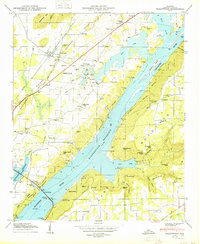
1950 Map of Hollywood
USGS Topo · Published 1950About this map
Guntersville Reservoir dominates this landscape, having transformed the Tennessee River valley into a broad expanse of water that surrounds Bellefonte Island. To the northwest, the town of Hollywood sits along the Southern railroad line, serving as a local hub near Backbone Ridge. The mapping reveals a rural social infrastructure defined by family name landmarks and community centers, including the Hollywood School, Bethany Sch, and numerous country churches like Cedar Glade Church and Providence Church. East of the water, the terrain rises sharply into Jones Mountain and Sand Mountain, where features like Stogsdill Sink and Wild Hog Hollow illustrate the complex karst topography of Jackson County. The presence of the Comer Bridge and Hales Ferry Gap highlights historical transit points across the river and through the ridges, while various cemeteries such as Bellefonte Cem and Chisenhall Cem provide valuable markers for genealogical research.
Find a feature on this map
57 named features on this map. Tap any name to fly to it.
Don’t see what you’re looking for? This feature index may not catch every label — zoom into the map to look around manually.
Map Details
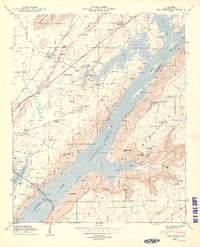
Editions of this 1950 Hollywood Map
2 editions found
Other maps of this area

1886 · Stevenson
USGS Topo · 1:125,000

1888 · Scottsboro
USGS Topo · 1:125,000

1892 · Scottsboro
USGS Topo · 1:125,000

1892 · Stevenson
USGS Topo · 1:125,000

1895 · Stevenson
USGS Topo · 1:125,000

1936 · Scottsboro
USGS Topo · 1:24,000

1936 · Wannville
USGS Topo · 1:24,000

1936 · Langston
USGS Topo · 1:24,000

1936 · Mud Creek
USGS Topo · 1:24,000

1936 · Dutton
USGS Topo · 1:24,000