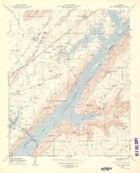
1950 Map of Hollywood
USGS Topo · Published 1950About this map
The Guntersville Reservoir dominates the lowlands of Jackson County, where the Tennessee Valley Authority recently reshaped the river landscape. Just west of the water, Hollywood sits along the Southern railroad and Lee Highway, serving as a focal point for a region characterized by small rural settlements and family cemeteries. The map details the transition from the river valley to the heights of Sand Mountain and Backbone Ridge, revealing a landscape marked by numerous gaps and points such as Hales Ferry Gap and Middlebrook Point.
Find a feature on this map
58 named features on this map. Tap any name to fly to it.
Don’t see what you’re looking for? This feature index may not catch every label — zoom into the map to look around manually.
Map Details
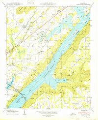
Editions of this 1950 Hollywood Map
2 editions found
Other maps of this area

1886 · Stevenson
USGS Topo · 1:125,000

1888 · Scottsboro
USGS Topo · 1:125,000

1892 · Scottsboro
USGS Topo · 1:125,000

1892 · Stevenson
USGS Topo · 1:125,000

1895 · Stevenson
USGS Topo · 1:125,000

1936 · Scottsboro
USGS Topo · 1:24,000

1936 · Wannville
USGS Topo · 1:24,000

1936 · Langston
USGS Topo · 1:24,000

1936 · Mud Creek
USGS Topo · 1:24,000

1936 · Dutton
USGS Topo · 1:24,000