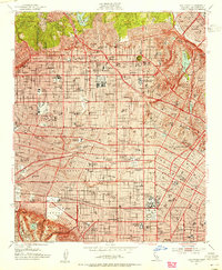
1953 Map of Hollywood
USGS Topo · Published 1955About this map
Hollywood stands as the centerpiece of this 1953 culture revision, revealing the dense infrastructure of the American film industry at mid-century. Landmarks like Graumans Chinese Theatre and the Pantages Theatre anchor the commercial district, while the production powerhouses of RKO Studios, Paramount Studios, and Columbia Pictures Studio dominate the urban grid. The map details the early integration of the Hollywood Freeway into a landscape already defined by the Pacific Electric transit lines and major thoroughfares like Sunset Blvd and Wilshire Boulevard.
Find a feature on this map
141 named features on this map. Tap any name to fly to it.
Don’t see what you’re looking for? This feature index may not catch every label — zoom into the map to look around manually.
Map Details
Editions of this 1953 Hollywood Map
2 editions found
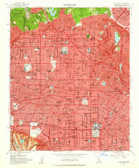
Other maps of this area

1894 · Los Angeles
USGS Topo · 1:62,500

1896 · Pasadena
USGS Topo · 1:62,500

1896 · Redondo
USGS Topo · 1:62,500

1896 · Santa Monica
USGS Topo · 1:62,500

1896 · Downey
USGS Topo · 1:62,500

1898 · Santa Monica
USGS Topo · 1:62,500

1899 · Downey
USGS Topo · 1:62,500

1900 · Pasadena
USGS Topo · 1:62,500

1900 · Los Angeles
USGS Topo · 1:62,500

1901 · Southern California Sheet No. 1
USGS Topo · 1:250,000