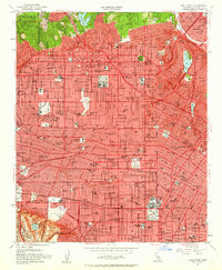
1953 Map of Hollywood
USGS Topo · Published 1963About this map
Graumans Chinese Theatre and the major film lots of Paramount Studios and RKO Studios anchor this mid-century look at the Los Angeles basin. This era of urban development is defined by the early expansion of the Hollywood Freeway and the Harbor Freeway, cutting through established neighborhoods like West Hollywood and Edendale. In the foothills of the Santa Monica Mountains, landmarks such as the Hollywood Bowl and Griffith Observatory sit above the dense street grid. Farther south, the map reveals the scientific and cultural landscape of the La Brea Fossil Pits and Exposition Park. The mapping details a complex network of public life, from the Monastery of the Angels to numerous local institutions like John Marshall High Sch and LA City College & State College.
Find a feature on this map
97 named features on this map. Tap any name to fly to it.
Don’t see what you’re looking for? This feature index may not catch every label — zoom into the map to look around manually.
Map Details
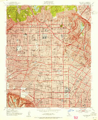
Editions of this 1953 Hollywood Map
2 editions found
Other maps of this area

1894 · Los Angeles
USGS Topo · 1:62,500

1896 · Pasadena
USGS Topo · 1:62,500

1896 · Redondo
USGS Topo · 1:62,500

1896 · Santa Monica
USGS Topo · 1:62,500

1896 · Downey
USGS Topo · 1:62,500

1898 · Santa Monica
USGS Topo · 1:62,500

1899 · Downey
USGS Topo · 1:62,500

1900 · Pasadena
USGS Topo · 1:62,500

1900 · Los Angeles
USGS Topo · 1:62,500

1901 · Southern California Sheet No. 1
USGS Topo · 1:250,000