
1943 Map of Holmesville
USGS Topo · Published 1960About this map
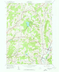
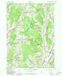
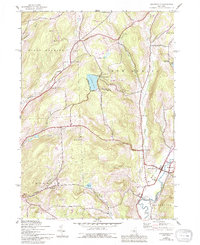
The Unadilla River forms the vital eastern boundary of this mid-century New York landscape, separating the townships of North Norwich and New Berlin from the hills of Butternuts and Morris in Otsego County. The river valley serves as the primary corridor for settlement and transit, anchored by the village of South New Berlin and the hamlet of Holmesville. Smaller, family-identified nodes like Kings Settlement and Burwell Corners are scattered across the higher terrain to the west, where the drainage of Shapanaka Brook and Thompson Creek cuts through the ridges.
Find a feature on this map
38 named features on this map. Tap any name to fly to it.
Don’t see what you’re looking for? This feature index may not catch every label — zoom into the map to look around manually.
Map Details
Editions of this 1943 Holmesville Map
4 editions found
Other maps of this area

1902 · Coventry
USGS Topo · 1:62,500

1903 · Norwich
USGS Topo · 1:62,500

1904 · Oxford
USGS Topo · 1:62,500

1910 · New Berlin
USGS Topo · 1:62,500

1912 · New Berlin
USGS Topo · 1:62,500

1915 · Unadilla
USGS Topo · 1:62,500

1918 · Unadilla
USGS Topo · 1:62,500

1943 · New Berlin North
USGS Topo · 1:24,000

1943 · New Berlin South
USGS Topo · 1:24,000

1943 · Gilbertsville
USGS Topo · 1:24,000