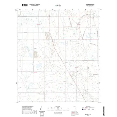
2021 Map of Holopaw SE
USGS Topo · Published 2021About this map
N Kenansville Rd and Us 441 Trl bisect a landscape dominated by the extensive wetlands and sloughs of Osceola County. This region is defined by its complex hydrography, where Hog Pen Slough and Rattlesnake Slough drain into larger water bodies like Bull Cr and Little Creek. The area’s conservation and recreational focus is evident through the extensive Triple N Ranch Wildlife Management Area Trl and the crossing of the Florida National Scenic Trl. Small private infrastructure, such as the Forever Florida Airport, sits amid isolated ranch lands and named groves like Holopaw Groves Rd. Further south, the map reveals distinct wetland basins including Johnson Bay and Saplin Bay, which characterize the interior drainage patterns typical of central Florida’s high-water table environments.
Find a feature on this map
42 named features on this map. Tap any name to fly to it.
Don’t see what you’re looking for? This feature index may not catch every label — zoom into the map to look around manually.
Map Details
Editions of this 2021 Holopaw SE Map
This is the sole edition of this map. No revisions or reprints were ever made.
Other maps of this area
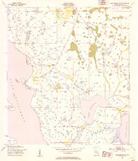
1953 · Lake Marian NW
USGS Topo · 1:24,000
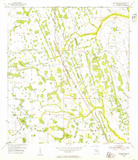
1953 · Holopaw SE
USGS Topo · 1:24,000
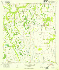
1953 · Kenansville
USGS Topo · 1:24,000
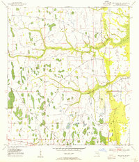
1953 · Deer Park NW
USGS Topo · 1:24,000
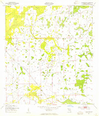
1953 · Holopaw SW
USGS Topo · 1:24,000
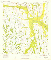
1953 · Deer Park
USGS Topo · 1:24,000
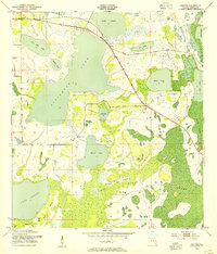
1953 · Ashton
USGS Topo · 1:24,000
1953 · Holopaw
USGS Topo · 1:24,000
1953 · Lake Marian NE
USGS Topo · 1:24,000
1955 · Orlando
USGS Topo · 1:250,000