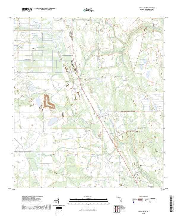
2024 Map of Holopaw SE
USGS Topo · Published 2024About this map
Hog Pen Slough and the West Branch Crabgrass Creek define the low-lying interior of Osceola County, where intricate wetland networks dictate the local geography. This landscape is characterized by its numerous "sloughs" and "bays," such as Cabbage Slough and Saplin Bay, which serve as natural drainage systems for the central Florida plains. The presence of the Triple N Ranch Wildlife Management Area Trl and the Florida National Scenic Trl highlights the region's preservation of the native pine savanna environment.
Find a feature on this map
49 named features on this map. Tap any name to fly to it.
Don’t see what you’re looking for? This feature index may not catch every label — zoom into the map to look around manually.
Map Details
Editions of this 2024 Holopaw SE Map
This is the sole edition of this map. No revisions or reprints were ever made.
Other maps of this area

1953 · Lake Marian NW
USGS Topo · 1:24,000

1953 · Holopaw SE
USGS Topo · 1:24,000

1953 · Kenansville
USGS Topo · 1:24,000

1953 · Deer Park NW
USGS Topo · 1:24,000

1953 · Holopaw SW
USGS Topo · 1:24,000

1953 · Deer Park
USGS Topo · 1:24,000

1953 · Ashton
USGS Topo · 1:24,000

1953 · Holopaw
USGS Topo · 1:24,000

1953 · Lake Marian NE
USGS Topo · 1:24,000

1955 · Orlando
USGS Topo · 1:250,000