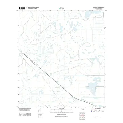
2012 Map of Holopaw SW
USGS Topo · Published 2012About this map
Bronson Farms sits at the heart of this agricultural and ranching landscape in Osceola County, where the low-lying terrain is defined by a complex network of wetlands and drainage patterns. The map documents a rural Florida interior transitioning between traditional citrus production and large-scale ranching operations, as evidenced by the namesake Holopaw Groves Rd and various ranch access routes. Water management is a primary feature of the environment, with the slow-moving waters of Scrub Slough and Bull Creek meandering through the territory. The presence of several long-established ranching roads, including Bar 7 Ranch Rd and 8 Mile Ranch Rd, indicates the historical importance of the cattle industry to this region's development and land use structure during the early twenty-first century.
Find a feature on this map
8 named features on this map. Tap any name to fly to it.
Don’t see what you’re looking for? This feature index may not catch every label — zoom into the map to look around manually.
Map Details
Editions of this 2012 Holopaw SW Map
This is the sole edition of this map. No revisions or reprints were ever made.
Other maps of this area

1952 · Lake Weohyakapka NE
USGS Topo · 1:24,000

1953 · Lake Marian NW
USGS Topo · 1:24,000

1953 · Cypress Lake
USGS Topo · 1:24,000

1953 · Holopaw SE
USGS Topo · 1:24,000

1953 · St Cloud South
USGS Topo · 1:24,000

1953 · Holopaw SW
USGS Topo · 1:24,000

1953 · Ashton
USGS Topo · 1:24,000

1953 · Holopaw
USGS Topo · 1:24,000

1953 · Lake Marian NE
USGS Topo · 1:24,000

1955 · Orlando
USGS Topo · 1:250,000