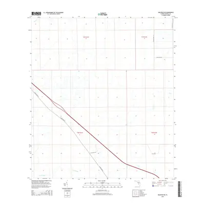
2015 Map of Holopaw SW
USGS Topo · Published 2015About this map
N Canoe Creek Rd cuts a dominant diagonal path through this southern Osceola County landscape, tracing the higher ground between several significant wetlands. The drainage pattern here is defined by low-lying watercourses such as Canoe Cr in the northwest and the winding path of Scrub Slough along the southern margin. These features, along with Bull Cr in the east, illustrate the hydrological character of the region as it appeared in the early 21st century.
Find a feature on this map
12 named features on this map. Tap any name to fly to it.
Don’t see what you’re looking for? This feature index may not catch every label — zoom into the map to look around manually.
Map Details
Editions of this 2015 Holopaw SW Map
This is the sole edition of this map. No revisions or reprints were ever made.
Other maps of this area
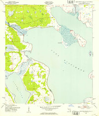
1952 · Lake Weohyakapka NE
USGS Topo · 1:24,000
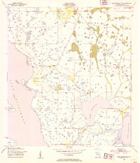
1953 · Lake Marian NW
USGS Topo · 1:24,000
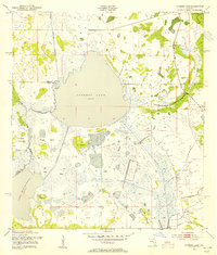
1953 · Cypress Lake
USGS Topo · 1:24,000
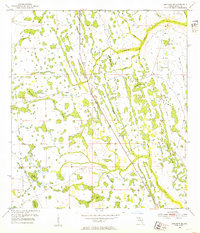
1953 · Holopaw SE
USGS Topo · 1:24,000
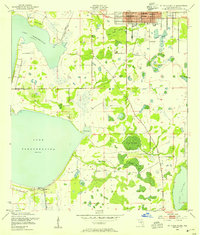
1953 · St Cloud South
USGS Topo · 1:24,000
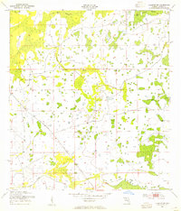
1953 · Holopaw SW
USGS Topo · 1:24,000
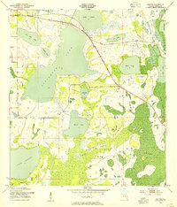
1953 · Ashton
USGS Topo · 1:24,000
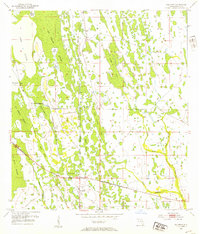
1953 · Holopaw
USGS Topo · 1:24,000
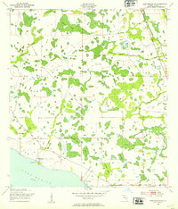
1953 · Lake Marian NE
USGS Topo · 1:24,000
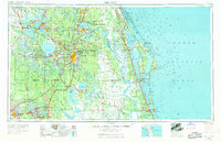
1955 · Orlando
USGS Topo · 1:250,000