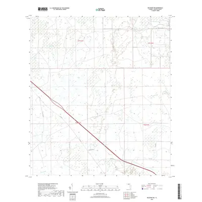
2018 Map of Holopaw SW
USGS Topo · Published 2018About this map
Lonesome Camp Swamp and Big Bend Swamp dominate the northern reaches of this central Florida landscape, illustrating the persistent wetlands that characterize this part of Osceola County. The map traces a network of rural routes and ranch access roads, including Bar 7 Ranch Rd and 8 Mile Ranch Rd, which navigate between low-lying drainages like Scrub Slough and Canoe Cr. This 2018 survey reveals a terrain defined by agricultural and ranching interests, where citrus operations are noted along Holo Paw Groves Rd. The drainage patterns of Bull Creek in the east provide a clear look at the natural hydrology of the region as it exists alongside modern county infrastructure such as Co Rd 523.
Find a feature on this map
16 named features on this map. Tap any name to fly to it.
Don’t see what you’re looking for? This feature index may not catch every label — zoom into the map to look around manually.
Map Details
Editions of this 2018 Holopaw SW Map
This is the sole edition of this map. No revisions or reprints were ever made.
Other maps of this area
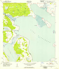
1952 · Lake Weohyakapka NE
USGS Topo · 1:24,000
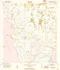
1953 · Lake Marian NW
USGS Topo · 1:24,000
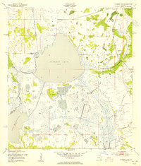
1953 · Cypress Lake
USGS Topo · 1:24,000
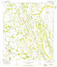
1953 · Holopaw SE
USGS Topo · 1:24,000
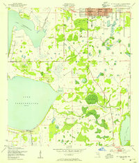
1953 · St Cloud South
USGS Topo · 1:24,000
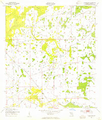
1953 · Holopaw SW
USGS Topo · 1:24,000
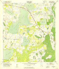
1953 · Ashton
USGS Topo · 1:24,000
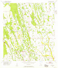
1953 · Holopaw
USGS Topo · 1:24,000
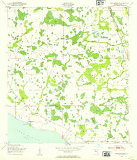
1953 · Lake Marian NE
USGS Topo · 1:24,000
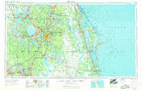
1955 · Orlando
USGS Topo · 1:250,000