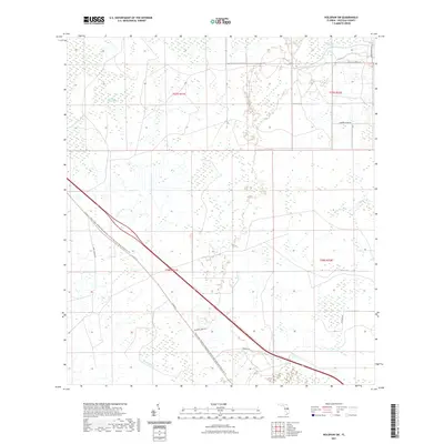
2021 Map of Holopaw SW
USGS Topo · Published 2021About this map
Three Lakes Wildlife Management Area dominates the southern landscape of this Osceola County interior, where the Three Lakes Wildlife Management Area To Old Creek Road Connector Trl cuts a straight path through the wetlands. The terrain is a complex network of seasonal inundation and citrus agriculture, marked by large-scale hydrological features such as Lonesome Camp Swamp and Big Bend Swamp.
Find a feature on this map
15 named features on this map. Tap any name to fly to it.
Don’t see what you’re looking for? This feature index may not catch every label — zoom into the map to look around manually.
Map Details
Editions of this 2021 Holopaw SW Map
This is the sole edition of this map. No revisions or reprints were ever made.
Other maps of this area

1952 · Lake Weohyakapka NE
USGS Topo · 1:24,000

1953 · Lake Marian NW
USGS Topo · 1:24,000

1953 · Cypress Lake
USGS Topo · 1:24,000

1953 · Holopaw SE
USGS Topo · 1:24,000

1953 · St Cloud South
USGS Topo · 1:24,000

1953 · Holopaw SW
USGS Topo · 1:24,000

1953 · Ashton
USGS Topo · 1:24,000

1953 · Holopaw
USGS Topo · 1:24,000

1953 · Lake Marian NE
USGS Topo · 1:24,000

1955 · Orlando
USGS Topo · 1:250,000