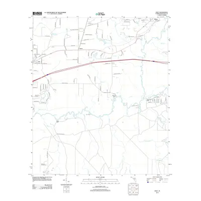
2012 Map of Holt
USGS Topo · Published 2012About this map
The Yellow River winds through the heart of this landscape, its wide bottomlands punctuated by river landings and distinctive high points like Wilkinson Bluff and Rattlesnake Bluff. The settlement at Holt serves as a local hub, with its grid of streets such as Main St and 3rd Ave transitioning into the rural reaches of Galliver and Milligan to the east. The terrain is defined by a dense network of tributaries including Trawick Creek, Metts Creek, and Turkey Gobbler Creek, which carve through the forest towards the main river channel.
Find a feature on this map
107 named features on this map. Tap any name to fly to it.
Don’t see what you’re looking for? This feature index may not catch every label — zoom into the map to look around manually.
Map Details
Editions of this 2012 Holt Map
This is the sole edition of this map. No revisions or reprints were ever made.
Other maps of this area

1934 · Holt
USGS Topo · 1:48,000

1934 · Harold
USGS Topo · 1:62,500

1937 · Holt
USGS Topo · 1:62,500

1937 · Harold
USGS Topo · 1:62,500

1938 · Harold
USGS Topo · 1:62,500

1948 · Munson
USGS Topo · 1:62,500

1949 · Crestview
USGS Topo · 1:62,500

1950 · Munson
USGS Topo · 1:62,500

1951 · Crestview
USGS Topo · 1:62,500

1956 · Holt
USGS Topo · 1:62,500