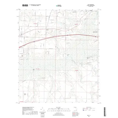
2018 Map of Holt
USGS Topo · Published 2018About this map
The Yellow River snakes through the center of this Okaloosa County landscape, creating a wide floodplain that defines the local geography. Small settlements like Holt, Galliver, and Milligan are situated along the northern corridor, connected by established roads and the southern edge of the Crestview outskirts. The map documents several bluffs overlooking the river bottoms, including Metts Bluff, Wilkinson Bluff, and Rattlesnake Bluff, which historically provided high ground above the swampy lowlands. Aviation and military presence are evident near the southern boundary with the Eglin Test Site B6 Airport and the Yellow River Airstrip. For those tracing local families, several burial grounds are recorded, such as Holt Cem, Beulah Cem, and Carr Cem. The Florida National Scenic Trail winds through the river valley, following the natural contours of the terrain between the river and the various creek systems like Metts Cr and Middle Cr.
Find a feature on this map
86 named features on this map. Tap any name to fly to it.
Don’t see what you’re looking for? This feature index may not catch every label — zoom into the map to look around manually.
Map Details
Editions of this 2018 Holt Map
This is the sole edition of this map. No revisions or reprints were ever made.
Other maps of this area
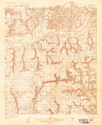
1934 · Holt
USGS Topo · 1:48,000
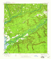
1934 · Harold
USGS Topo · 1:62,500
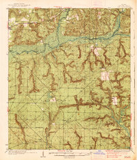
1937 · Holt
USGS Topo · 1:62,500
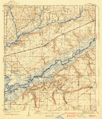
1937 · Harold
USGS Topo · 1:62,500
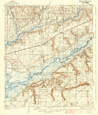
1938 · Harold
USGS Topo · 1:62,500
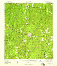
1948 · Munson
USGS Topo · 1:62,500
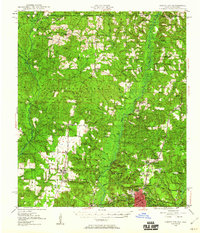
1949 · Crestview
USGS Topo · 1:62,500
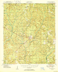
1950 · Munson
USGS Topo · 1:62,500
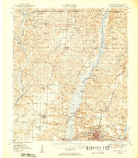
1951 · Crestview
USGS Topo · 1:62,500
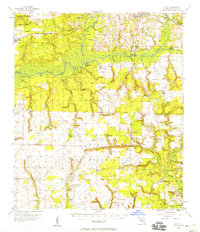
1956 · Holt
USGS Topo · 1:62,500