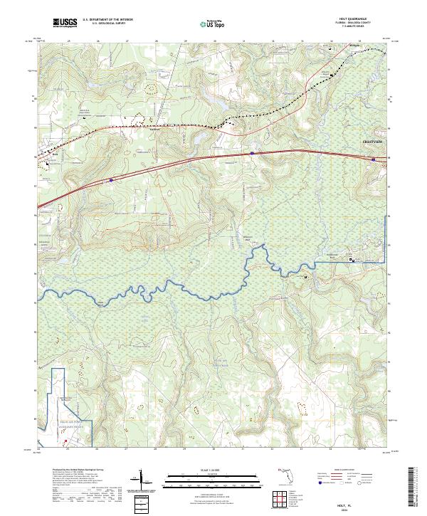
2024 Map of Holt
USGS Topo · Published 2024About this map
Holt and Galliver anchor this West Florida landscape where the piney uplands meet the winding course of the Yellow River. The southern portion of the region is dominated by the sprawling northern boundary of Eglin Air Force Base, including the Eglin Air Force Auxiliary Field 6 and the Eglin Test Site B6 Airport. This military presence contrasts with the traditional rural character of the area, which is marked by numerous family burial grounds such as the Wilkinson - Baggett Family Cem and the Rouse - Hicks Cem.
Find a feature on this map
101 named features on this map. Tap any name to fly to it.
Don’t see what you’re looking for? This feature index may not catch every label — zoom into the map to look around manually.
Map Details
Editions of this 2024 Holt Map
This is the sole edition of this map. No revisions or reprints were ever made.
Other maps of this area

1934 · Holt
USGS Topo · 1:48,000

1934 · Harold
USGS Topo · 1:62,500

1937 · Holt
USGS Topo · 1:62,500

1937 · Harold
USGS Topo · 1:62,500

1938 · Harold
USGS Topo · 1:62,500

1948 · Munson
USGS Topo · 1:62,500

1949 · Crestview
USGS Topo · 1:62,500

1950 · Munson
USGS Topo · 1:62,500

1951 · Crestview
USGS Topo · 1:62,500

1956 · Holt
USGS Topo · 1:62,500