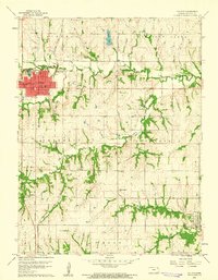
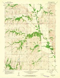
1960 Map of Holton
USGS Topo · Published 1961About this map
Holton serves as the regional hub for Jackson County in the early 1960s, its street grid and public institutions like the High Sch and Hospital detailed alongside the Chicago Rock Island and Pacific railroad. The landscape is deeply tied to its historical boundaries, clearly marking the Potawatomi Indian Res Boundary and the Old Indian Bdy. Smaller rural communities such as Denison and Birmingham anchor the southeastern portion of the map, while the surrounding countryside is dotted with neighborhood landmarks like the Brick Sch and the adjacent Brick Cem. Drainages such as Elk Creek and Bills Creek cut through the townships of Liberty and Straight Creek, illustrating the natural irrigation patterns that sustained the area's agricultural character during this era of mid-century development.
Find a feature on this map
58 named features on this map. Tap any name to fly to it.
Don’t see what you’re looking for? This feature index may not catch every label — zoom into the map to look around manually.
Map Details
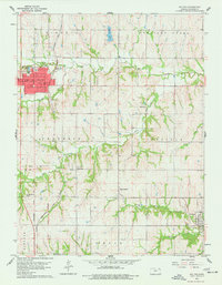
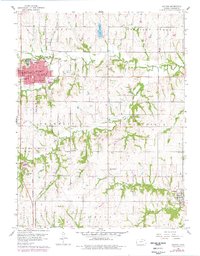
Editions of this 1960 Holton Map
3 editions found
Other maps of this area

1888 · Hiawatha
USGS Topo · 1:125,000

1889 · Topeka
USGS Topo · 1:125,000

1894 · Topeka
USGS Topo · 1:125,000

1894 · Hiawatha
USGS Topo · 1:125,000

1950 · Kansas City
USGS Topo · 1:250,000

1954 · Kansas City
USGS Topo · 1:250,000

1956 · Kansas City
USGS Topo · 1:250,000

1960 · Kansas City
USGS Topo · 1:250,000
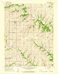
1960 · Mayetta
USGS Topo · 1:24,000
1960 · Arrington
USGS Topo · 1:24,000