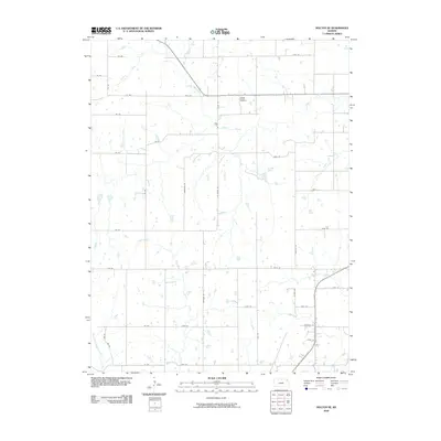
2009 Map of Holton SE
USGS Topo · Published 2009About this map
Graggs Chapel Cemetery stands as a focal point of local heritage in this rural Jefferson County landscape, situated near the intersection of 170th St and Cedar Rd. The terrain is defined by a dense network of meandering waterways, including North Cedar Creek and Cedar Creek, which drain the agricultural uplands. A strictly organized grid of section-line roads, such as Meriden Rd and Platte Rd, structures the territory, reflecting the long-established land divisions of the Kansas plains. Smaller tributaries like Tick Creek and Duck Creek create natural breaks in the rectangular fields, revealing the subtle topography that dictates drainage and farm placement. The map captures the area in its contemporary configuration, where historical rural landmarks remain embedded within the modern transportation network.
Find a feature on this map
43 named features on this map. Tap any name to fly to it.
Don’t see what you’re looking for? This feature index may not catch every label — zoom into the map to look around manually.
Map Details
Editions of this 2009 Holton SE Map
This is the sole edition of this map. No revisions or reprints were ever made.
Other maps of this area
1886 · Oskaloosa
USGS Topo · 1:125,000
1888 · Oskaloosa
USGS Topo · 1:125,000
1889 · Topeka
USGS Topo · 1:125,000
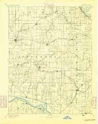
1894 · Oskaloosa
USGS Topo · 1:125,000
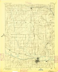
1894 · Topeka
USGS Topo · 1:125,000
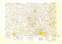
1950 · Kansas City
USGS Topo · 1:250,000
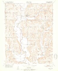
1951 · Ozawkie
USGS Topo · 1:24,000
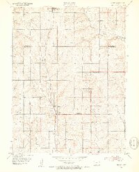
1952 · Elmont
USGS Topo · 1:24,000
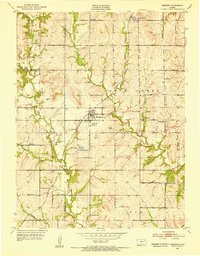
1952 · Meriden
USGS Topo · 1:24,000
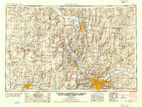
1954 · Kansas City
USGS Topo · 1:250,000