
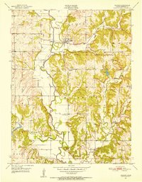
1951 Map of Ozawkie
USGS Topo · Published 1952About this map
The Delaware River meanders through the heart of Jefferson County, defining a landscape of agricultural valley floors and rising bluffs just before the era of major reservoir construction. The town of Ozawkie serves as the central hub of this rural community, situated near the northern edge of the Old Delaware Reservation boundary. The distribution of social institutions reveals a deeply rooted rural network, with country schools like Lowry Sch and Hayes Sch spaced to serve local farmsteads.
Find a feature on this map
22 named features on this map. Tap any name to fly to it.
Don’t see what you’re looking for? This feature index may not catch every label — zoom into the map to look around manually.
Map Details
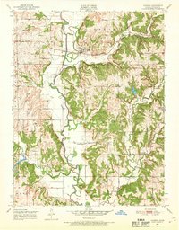
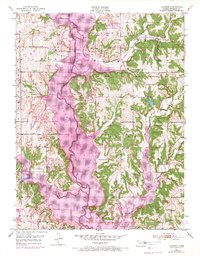
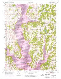
Editions of this 1951 Ozawkie Map
5 editions found
Other maps of this area

1886 · Oskaloosa
USGS Topo · 1:125,000

1888 · Oskaloosa
USGS Topo · 1:125,000

1889 · Topeka
USGS Topo · 1:125,000

1894 · Oskaloosa
USGS Topo · 1:125,000

1894 · Topeka
USGS Topo · 1:125,000

1949 · Williamstown
USGS Topo · 1:24,000

1949 · Perry
USGS Topo · 1:24,000

1950 · Perry
USGS Topo · 1:24,000

1950 · Kansas City
USGS Topo · 1:250,000

1950 · Williamstown
USGS Topo · 1:24,000