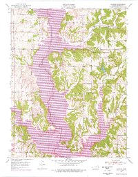
1951 Map of Ozawkie
USGS Topo · Published 1976About this map
Perry Lake dominates the central landscape of this Jefferson County survey, which shows the area as it transitioned from a river valley to a reservoir system. The northern reaches of the lake now cover much of the original Delaware River channel, though the legacy of the area is preserved in the North Boundary Old Delaware Reservation. To the west, the settlement of Ozawkie sits near the water, surrounded by recreational zones like the Old Town Public Use Area and various boat ramps that indicate the lake's growing role in local life. Away from the shoreline, the map documents early community landmarks including the Lowry Sch and the Olive Branch Cem near the Olive Branch stream. The terrain is marked by distinctive elevations such as Round Mound in the south, while several tributaries like Slough Creek and Rock Creek feed into the expansive reservoir.
Find a feature on this map
27 named features on this map. Tap any name to fly to it.
Don’t see what you’re looking for? This feature index may not catch every label — zoom into the map to look around manually.
Map Details
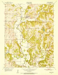
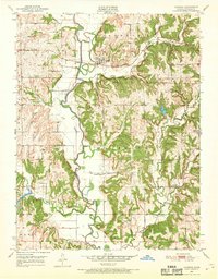
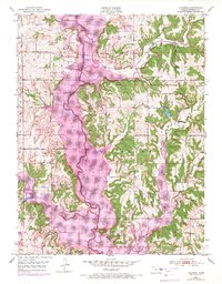
Editions of this 1951 Ozawkie Map
5 editions found

Other maps of this area

1886 · Oskaloosa
USGS Topo · 1:125,000

1888 · Oskaloosa
USGS Topo · 1:125,000

1889 · Topeka
USGS Topo · 1:125,000

1894 · Oskaloosa
USGS Topo · 1:125,000

1894 · Topeka
USGS Topo · 1:125,000

1949 · Williamstown
USGS Topo · 1:24,000

1949 · Perry
USGS Topo · 1:24,000

1950 · Perry
USGS Topo · 1:24,000

1950 · Kansas City
USGS Topo · 1:250,000

1950 · Williamstown
USGS Topo · 1:24,000