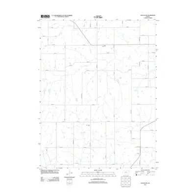
2012 Map of Holton SE
USGS Topo · Published 2012About this map
Graggs Chapel Cem and Bloomfield Cem serve as quiet landmarks within this rural Jefferson County landscape, anchoring a network of section-line roads and family-named routes like Barber Rd. The area is defined by its complex drainage systems, where N Cedar Cr, S Cedar Cr, and the main stem of Cedar Cr converge to shape the local topography. In the southern half of the quadrangle, smaller waterways including Rock Cr, Tick Cr, and Duck Cr weave between farmsteads. The placement of residential streets such as Maverick Ln and Cecil Dr illustrates the modern evolution of these rural spaces, while established corridors like 174th St and 114th St maintain the traditional grid-patterned connectivity typical of the Kansas prairie.
Find a feature on this map
55 named features on this map. Tap any name to fly to it.
Don’t see what you’re looking for? This feature index may not catch every label — zoom into the map to look around manually.
Map Details
Editions of this 2012 Holton SE Map
This is the sole edition of this map. No revisions or reprints were ever made.
Other maps of this area

1886 · Oskaloosa
USGS Topo · 1:125,000

1888 · Oskaloosa
USGS Topo · 1:125,000

1889 · Topeka
USGS Topo · 1:125,000

1894 · Oskaloosa
USGS Topo · 1:125,000

1894 · Topeka
USGS Topo · 1:125,000

1950 · Kansas City
USGS Topo · 1:250,000

1951 · Ozawkie
USGS Topo · 1:24,000

1952 · Elmont
USGS Topo · 1:24,000
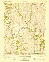
1952 · Meriden
USGS Topo · 1:24,000

1954 · Kansas City
USGS Topo · 1:250,000