
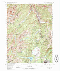
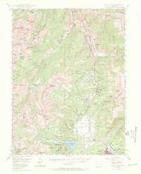
1949 Map of Holy Cross
USGS Topo · Published 1955About this map
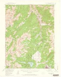
The military reservation at Camp Hale dominates the Eagle River valley in this high-altitude survey, reflecting the area's strategic importance during the mid-20th century. Situated near Pando, the installation was established to train specialized mountain troops, a function suited to the nearby Tennessee Pass and the steep slopes of the Gore Range. To the south, the city of Leadville serves as the industrial and transportation anchor, where the Denver and Rio Grande Western RR navigates the complex terrain to reach active operations like the Matchless Mine.
Find a feature on this map
113 named features on this map. Tap any name to fly to it.
Don’t see what you’re looking for? This feature index may not catch every label — zoom into the map to look around manually.
Map Details
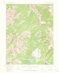
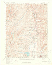
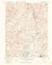
Editions of this 1949 Holy Cross Map
7 editions found
Other maps of this area

1889 · Leadville
USGS Topo · 1:125,000

1891 · Leadville
USGS Topo · 1:125,000

1909 · Mount Jackson
USGS Topo · 1:125,000

1911 · Mount Jackson
USGS Topo · 1:125,000

1929 · Dillon
USGS Topo · 1:62,500

1934 · Climax
USGS Topo · 1:48,000

1934 · Minturn
USGS Topo · 1:62,500

1934 · Dillon
USGS Topo · 1:62,500

1935 · Mount Elbert
USGS Topo · 1:62,500

1938 · Mt. Lincoln
USGS Topo · 1:48,000