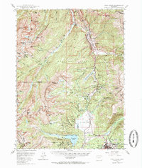
1949 Map of Holy Cross
USGS Topo · Published 1971About this map
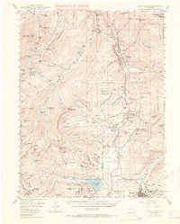
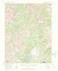
The Camp Hale Military Reservation dominates the high-altitude landscape of the Gore Range and Continental Divide in this mid-century survey. Established during World War II for mountain warfare training, the sprawling installation is centered near Pando and Camp Hale along the Denver and Rio Grande Western railroad. To the south, the mining legacy of the Rockies is clearly visible near Leadville, where the Matchless Mine and Jennie June Mine are situated among a complex network of gulches. The survey captures a moment when traditional resource extraction and modern military infrastructure coexisted in the shadow of peaks like the Mt of the Holy Cross and Mt Zion. Transport routes through Tennessee Pass and the remote settlement of Holy Cross City provide essential context for the region's development before the expansion of modern ski resorts.
Find a feature on this map
114 named features on this map. Tap any name to fly to it.
Don’t see what you’re looking for? This feature index may not catch every label — zoom into the map to look around manually.
Map Details
Editions of this 1949 Holy Cross Map
7 editions found

Other maps of this area

1889 · Leadville
USGS Topo · 1:125,000

1891 · Leadville
USGS Topo · 1:125,000

1909 · Mount Jackson
USGS Topo · 1:125,000

1911 · Mount Jackson
USGS Topo · 1:125,000

1929 · Dillon
USGS Topo · 1:62,500

1934 · Climax
USGS Topo · 1:48,000

1934 · Minturn
USGS Topo · 1:62,500

1934 · Dillon
USGS Topo · 1:62,500

1935 · Mount Elbert
USGS Topo · 1:62,500

1938 · Mt. Lincoln
USGS Topo · 1:48,000