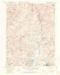
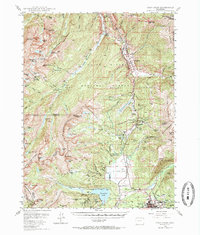
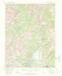
1949 Map of Holy Cross
USGS Topo · Published 1971About this map
The Camp Hale Military Reservation dominates the high-altitude landscape of this 1949 survey, marking the wartime and post-war presence of the U.S. Army's mountain training grounds. Situated along the Eagle River and the Denver and Rio Grande Western railroad, the area includes the settlement of Pando and the strategic Tennessee Pass. The map serves as a detailed record of the mining and mountaineering history of the Sawatch Range, featuring the iconic Mt of the Holy Cross and its Bowl of Tears.
Find a feature on this map
108 named features on this map. Tap any name to fly to it.
Don’t see what you’re looking for? This feature index may not catch every label — zoom into the map to look around manually.
Map Details
Editions of this 1949 Holy Cross Map
7 editions found

Other maps of this area

1889 · Leadville
USGS Topo · 1:125,000

1891 · Leadville
USGS Topo · 1:125,000

1909 · Mount Jackson
USGS Topo · 1:125,000

1911 · Mount Jackson
USGS Topo · 1:125,000

1929 · Dillon
USGS Topo · 1:62,500

1934 · Climax
USGS Topo · 1:48,000

1934 · Minturn
USGS Topo · 1:62,500

1934 · Dillon
USGS Topo · 1:62,500

1935 · Mount Elbert
USGS Topo · 1:62,500

1938 · Mt. Lincoln
USGS Topo · 1:48,000