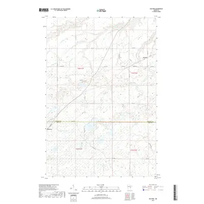
2019 Map of Holyoke
USGS Topo · Published 2019About this map
Holyoke and Nickerson anchor this corner of the Minnesota northwoods, where the landscape is defined by an intricate network of wetlands and small glacial lakes. The Nemadji River and its S Fork Nemadji River wind through the northern terrain, joined by numerous tributaries including Stony Brook, Silver Cr, and Anderson Cr. The survey illustrates the rural infrastructure of the early 21st century, with local routes like Co Hwy 8 and Center Rd connecting scattered homesteads and recreational lands.
Find a feature on this map
46 named features on this map. Tap any name to fly to it.
Don’t see what you’re looking for? This feature index may not catch every label — zoom into the map to look around manually.
Map Details
Editions of this 2019 Holyoke Map
This is the sole edition of this map. No revisions or reprints were ever made.
Other maps of this area

1949 · Holyoke
USGS Topo · 1:48,000

1953 · Duluth
USGS Topo · 1:250,000

1954 · Foxboro
USGS Topo · 1:24,000

1954 · Wrenshall
USGS Topo · 1:24,000

1954 · Frogner
USGS Topo · 1:24,000

1954 · Atkinson
USGS Topo · 1:24,000

1956 · Barnum
USGS Topo · 1:62,500

1958 · Duluth
USGS Topo · 1:250,000

1962 · Holyoke
USGS Topo · 1:62,500

1962 · Bruno
USGS Topo · 1:62,500