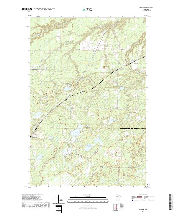
2022 Map of Holyoke
USGS Topo · Published 2022About this map
The unincorporated settlements of Holyoke and Nickerson anchor this portion of the Minnesota-Wisconsin borderlands, where the landscape is defined by the complex hydrology of the Nemadji River watershed. The terrain transitions from the lowlands around Net Lake and Pickerel Lake to the more pronounced elevation of Big Tooth Ridge in the southeast. This area is characterized by a dense network of recreational corridors, including the Matthew Lourey State Trl and the Straight Arrows Trl, which navigate the swampy reaches and timbered tracts of the Nemadji State Forest. The map reveals a land divided by the Carlton Co Pine Co line, where the movement of water through the Net River and various brooks like Stony Brook and Anderson Cr dictates the early road patterns and modern forest management boundaries.
Find a feature on this map
49 named features on this map. Tap any name to fly to it.
Don’t see what you’re looking for? This feature index may not catch every label — zoom into the map to look around manually.
Map Details
Editions of this 2022 Holyoke Map
This is the sole edition of this map. No revisions or reprints were ever made.
Other maps of this area

1949 · Holyoke
USGS Topo · 1:48,000

1953 · Duluth
USGS Topo · 1:250,000

1954 · Foxboro
USGS Topo · 1:24,000

1954 · Wrenshall
USGS Topo · 1:24,000

1954 · Frogner
USGS Topo · 1:24,000

1954 · Atkinson
USGS Topo · 1:24,000

1956 · Barnum
USGS Topo · 1:62,500

1958 · Duluth
USGS Topo · 1:250,000

1962 · Holyoke
USGS Topo · 1:62,500

1962 · Bruno
USGS Topo · 1:62,500