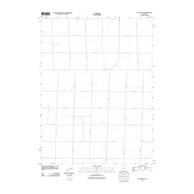
2010 Map of Holyoke NE
USGS Topo · Published 2010About this map
Wildhorse Creek meanders through this agricultural section of northeastern Colorado, defining the subtle drainage patterns of the high plains. The landscape is dominated by a systematic grid of section roads, including County Rd-2 along the northern boundary and County Rd-28 to the south. This network of thoroughfares, such as County Rd-35 and County Rd-41, underscores the organized land division typical of the region's ranching and farming history. While formal settlements are absent on this specific sheet, the intricate layout of roads like County Rd-33 and County Rd-42 reveals the footprint of rural property access and the connectivity required to manage these expansive grasslands. The map serves as a clear record of the physical infrastructure that supported the local agricultural economy in the early 21st century.
Find a feature on this map
16 named features on this map. Tap any name to fly to it.
Don’t see what you’re looking for? This feature index may not catch every label — zoom into the map to look around manually.
Map Details
Editions of this 2010 Holyoke NE Map
This is the sole edition of this map. No revisions or reprints were ever made.
Other maps of this area

1952 · Julesburg SW
USGS Topo · 1:24,000

1952 · Julesburg SE
USGS Topo · 1:24,000

1954 · Sterling
USGS Topo · 1:250,000

1958 · Sterling
USGS Topo · 1:250,000

1962 · Venango SW
USGS Topo · 1:24,000

1962 · Holyoke NE
USGS Topo · 1:24,000

1962 · Amherst
USGS Topo · 1:24,000

1962 · Holyoke NW
USGS Topo · 1:24,000

1971 · Paoli
USGS Topo · 1:24,000

1971 · Amherst SW
USGS Topo · 1:24,000