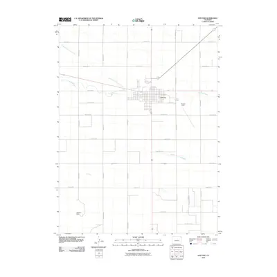
2010 Map of Holyoke
USGS Topo · Published 2010About this map
Holyoke serves as the focal point of this Eastern Plains study, where the convergence of Frenchman Creek, the North Fork Frenchman Creek, and the South Fork Frenchman Creek dictates the local geography. The township's street grid, including E Johnson St, transitions into a vast sectional road system defined by routes such as County Rd 26 and County Rd 14. To the east of the town center, the Holyoke Airport stands as a significant regional landmark. The terrain is relatively uniform across the Phillips County landscape, punctuated only by subtle elevations like Goddard Peak in the southwest. This survey documents the intersection of agricultural land management and the hydrological network of the Frenchman Creek drainage system as it appeared in the early 21st century.
Find a feature on this map
24 named features on this map. Tap any name to fly to it.
Don’t see what you’re looking for? This feature index may not catch every label — zoom into the map to look around manually.
Map Details
Editions of this 2010 Holyoke Map
This is the sole edition of this map. No revisions or reprints were ever made.
Other maps of this area

1954 · Sterling
USGS Topo · 1:250,000

1958 · Sterling
USGS Topo · 1:250,000

1962 · Holyoke NE
USGS Topo · 1:24,000

1962 · Amherst
USGS Topo · 1:24,000

1962 · Holyoke NW
USGS Topo · 1:24,000

1971 · Paoli
USGS Topo · 1:24,000

1971 · Amherst SW
USGS Topo · 1:24,000

1971 · Holyoke
USGS Topo · 1:24,000

1971 · Alvin NW
USGS Topo · 1:24,000

1971 · Fiddler Peak
USGS Topo · 1:24,000