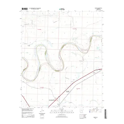
2014 Map of Homan
USGS Topo · Published 2014About this map
The Red River dominates this portion of Miller and Little River counties, its winding oxbows creating a complex network of wetlands and seasonal water bodies. This landscape is defined by the remnants of former river channels, represented by features such as Bear Lake, Young Lake, and Cut-off Lake. These horseshoe-shaped lakes illustrate the dynamic nature of the river's path over time, which also serves as the fluctuating boundary between Little River County and Miller County. To manage this delta-like environment, a system of man-made waterways including Homan Ditch and Gillespie Ditch was developed to drain the low-lying agricultural lands.
Find a feature on this map
52 named features on this map. Tap any name to fly to it.
Don’t see what you’re looking for? This feature index may not catch every label — zoom into the map to look around manually.
Map Details
Editions of this 2014 Homan Map
This is the sole edition of this map. No revisions or reprints were ever made.
Other maps of this area
1909 · Texarkana
USGS Topo · 1:62,500
1950 · Ashdown East
USGS Topo · 1:24,000
1950 · Ogden
USGS Topo · 1:24,000
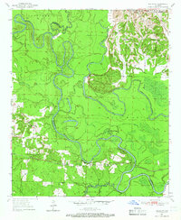
1950 · Red Bluff
USGS Topo · 1:24,000
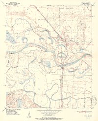
1951 · Ogden
USGS Topo · 1:24,000
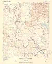
1951 · Red Bluff
USGS Topo · 1:24,000
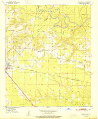
1951 · Ashdown East
USGS Topo · 1:24,000
1951 · Homan
USGS Topo · 1:24,000
1951 · Fulton
USGS Topo · 1:24,000
1951 · Mc Nab
USGS Topo · 1:24,000