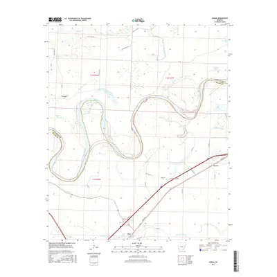
2017 Map of Homan
USGS Topo · Published 2017About this map
The Red River carves a complex path through this corner of Miller County, creating a landscape defined by oxbow lakes and intricate drainage systems. The survey documents the area's rural character, anchored by small settlements such as Homan and Temple. The hydrologic history of the basin is visible in the numerous secondary water bodies left in the river's wake, including Old River Lake, Horseshoe Lake, and Cut-off Lake.
Find a feature on this map
47 named features on this map. Tap any name to fly to it.
Don’t see what you’re looking for? This feature index may not catch every label — zoom into the map to look around manually.
Map Details
Editions of this 2017 Homan Map
This is the sole edition of this map. No revisions or reprints were ever made.
Other maps of this area
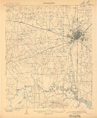
1909 · Texarkana
USGS Topo · 1:62,500
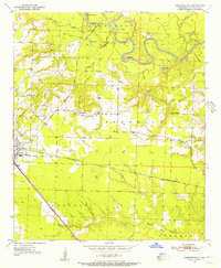
1950 · Ashdown East
USGS Topo · 1:24,000
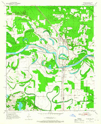
1950 · Ogden
USGS Topo · 1:24,000
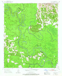
1950 · Red Bluff
USGS Topo · 1:24,000
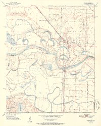
1951 · Ogden
USGS Topo · 1:24,000
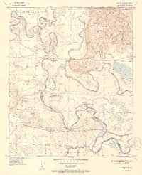
1951 · Red Bluff
USGS Topo · 1:24,000
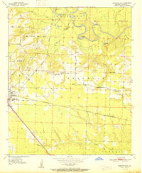
1951 · Ashdown East
USGS Topo · 1:24,000
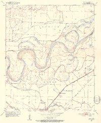
1951 · Homan
USGS Topo · 1:24,000
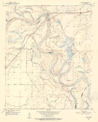
1951 · Fulton
USGS Topo · 1:24,000
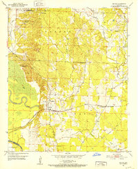
1951 · Mc Nab
USGS Topo · 1:24,000