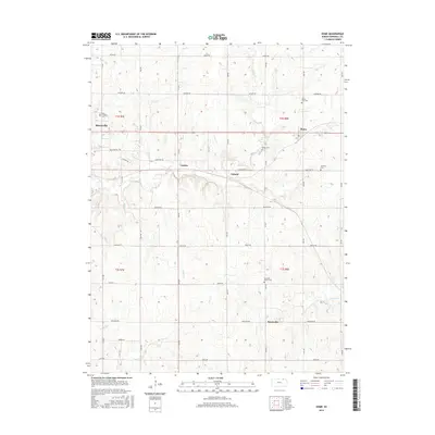
2015 Map of Home
USGS Topo · Published 2015About this map
The agrarian landscape of eastern Marshall County is meticulously documented here, anchored by the community of Home and the eastern outskirts of Marysville. This 2015 update reflects a region where traditional section-line roads, many named for historical tribal groups like Navajo Rd, Osage Rd, and Pawnee Rd, define the movement across the prairie. The map provides significant genealogical value through its identification of local burying grounds, including Saint Gregorys Cem, Home City Cem, and the Marshall Center Cem.
Find a feature on this map
31 named features on this map. Tap any name to fly to it.
Don’t see what you’re looking for? This feature index may not catch every label — zoom into the map to look around manually.
Map Details
Editions of this 2015 Home Map
This is the sole edition of this map. No revisions or reprints were ever made.
Other maps of this area
1889 · Seneca
USGS Topo · 1:125,000
1889 · Marysville
USGS Topo · 1:125,000
1894 · Seneca
USGS Topo · 1:125,000
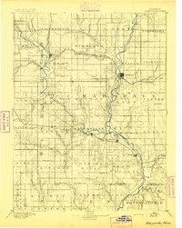
1894 · Marysville
USGS Topo · 1:125,000
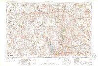
1955 · Manhattan
USGS Topo · 1:250,000
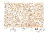
1956 · Manhattan
USGS Topo · 1:250,000
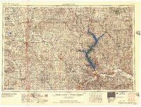
1957 · Manhattan
USGS Topo · 1:250,000
1966 · Oketo
USGS Topo · 1:24,000
1966 · Marysville
USGS Topo · 1:24,000
1966 · Herkimer
USGS Topo · 1:24,000