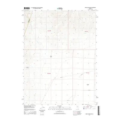
2014 Map of Home Station Gap
USGS Topo · Published 2014About this map
Home Station Gap serves as a critical geographic passage where the Augusta Mountains meet the vast expanse of Antelope Valley. This high-desert corridor in Nevada is defined by a seasonal drainage network, primarily Home Station Wash, which cuts through the basin. The map reveals the persistence of historical water sources in an arid landscape, including Hess Spring and the curiously named Brides Wells and Bridge Wells. These features represent the essential infrastructure of a land organized by the Public Land Survey System, where township and range lines like t26n r41e provide the only human-imposed structure across the desert floor.
Find a feature on this map
12 named features on this map. Tap any name to fly to it.
Don’t see what you’re looking for? This feature index may not catch every label — zoom into the map to look around manually.
Map Details
Editions of this 2014 Home Station Gap Map
This is the sole edition of this map. No revisions or reprints were ever made.
Other maps of this area
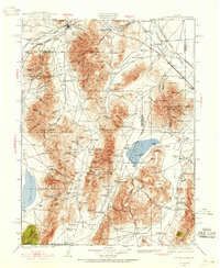
1932 · Sonoma Range
USGS Topo · 1:250,000
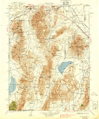
1939 · Sonoma Range
USGS Topo · 1:250,000

1955 · Millett
USGS Topo · 1:250,000

1955 · Winnemucca
USGS Topo · 1:250,000

1958 · Winnemucca
USGS Topo · 1:250,000

1959 · Millett
USGS Topo · 1:250,000
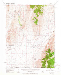
1961 · Cain Mountain
USGS Topo · 1:62,500
1961 · Mt. Moses
USGS Topo · 1:62,500
1962 · Winnemucca
USGS Topo · 1:250,000
1966 · Shoshone Meadows
USGS Topo · 1:62,500