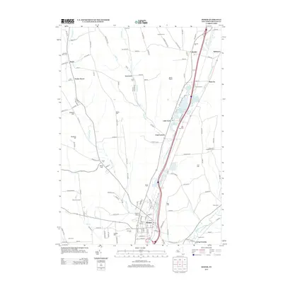
2013 Map of Homer
USGS Topo · Published 2013About this map
The W Br Tioughnioga River and its accompanying valley corridor define the settlement pattern of this Cortland County region. At the southern end, the village of Homer serves as a primary hub, while the terrain to the north rises toward summits like Mount Toppin and East Hill. The landscape is dotted with several named agricultural operations, including Westan Farms, New Hope View Farm, and Wineland Farm, indicating the persistent importance of dairy and crop farming in the valley.
Find a feature on this map
138 named features on this map. Tap any name to fly to it.
Don’t see what you’re looking for? This feature index may not catch every label — zoom into the map to look around manually.
Map Details
Editions of this 2013 Homer Map
This is the sole edition of this map. No revisions or reprints were ever made.
Other maps of this area
1898 · Moravia
USGS Topo · 1:62,500
1899 · Skaneateles
USGS Topo · 1:62,500
1900 · Tully
USGS Topo · 1:62,500
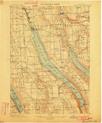
1902 · Skaneateles
USGS Topo · 1:62,500
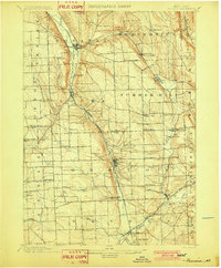
1902 · Moravia
USGS Topo · 1:62,500
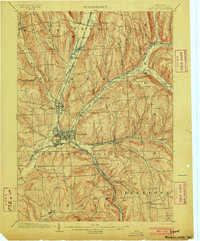
1903 · Cortland
USGS Topo · 1:62,500
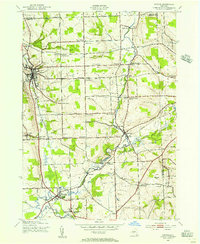
1942 · Groton
USGS Topo · 1:24,000
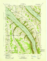
1943 · Spafford
USGS Topo · 1:31,680
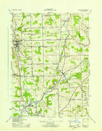
1943 · Groton
USGS Topo · 1:31,680
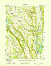
1943 · Otisco Valley
USGS Topo · 1:31,680