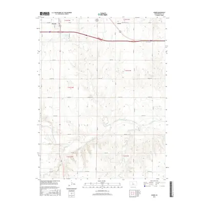
2016 Map of Homer
USGS Topo · Published 2016About this map
The Smoky Hill River meanders across the southern portion of this Kansas landscape, joined by several local drainages including Sellens Cr and Landon Cr. In the north, the settlement of Russell and the smaller community of Homer sit at the intersection of significant transport routes, including Old US Hwy 40 and the modern interstate corridor. The city of Russell extends south of the highway towards Fossil Cr, while the Russell Municipal Airport serves the higher ground to the east.
Find a feature on this map
30 named features on this map. Tap any name to fly to it.
Don’t see what you’re looking for? This feature index may not catch every label — zoom into the map to look around manually.
Map Details
Editions of this 2016 Homer Map
This is the sole edition of this map. No revisions or reprints were ever made.
Other maps of this area
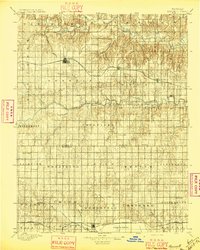
1896 · Russell
USGS Topo · 1:125,000
1955 · Great Bend
USGS Topo · 1:250,000
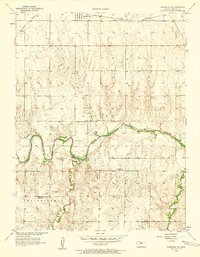
1956 · Dorrance SW
USGS Topo · 1:24,000
1957 · Great Bend
USGS Topo · 1:250,000
1958 · Great Bend
USGS Topo · 1:250,000
1961 · Russell SW
USGS Topo · 1:24,000
1961 · Homer
USGS Topo · 1:24,000
1967 · Russell NW
USGS Topo · 1:24,000
1967 · Dorrance NW
USGS Topo · 1:24,000
1967 · Russell
USGS Topo · 1:24,000