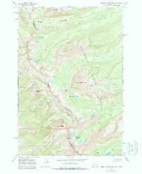
1966 Map of Homer Youngs Peak
USGS Topo · Published 1979About this map
The Continental Divide forms a dramatic high-altitude boundary on this mid-century survey, separating Beaverhead County, Montana, from Lemhi County, Idaho. High-elevation mining operations are prominent features of this landscape, including the Ajax Mine situated near Ajax Peak and the Ore Cash Mine located further south along the divide. The terrain is characterized by numerous alpine basins containing distinct water bodies such as Slag-a-melt Lakes, Rock Island Lakes, and the Upper Miner Lakes. A network of historic transportation routes, including the Miner Pack Trail and the Hamby Pack Trail, illustrates the rugged logistics required for resource extraction and land management within the Beaverhead National Forest. This mapping effort, field checked in 1966, documents the high peaks of the Bitterroot Range, including Homer Youngs Peak and South Pyramid Peak.
Find a feature on this map
39 named features on this map. Tap any name to fly to it.
Don’t see what you’re looking for? This feature index may not catch every label — zoom into the map to look around manually.
Map Details
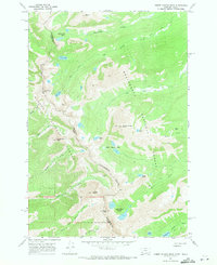
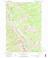
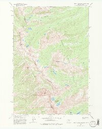
Editions of this 1966 Homer Youngs Peak Map
4 editions found
Other maps of this area

1950 · Salmon
USGS Topo · 1:62,500

1951 · Salmon
USGS Topo · 1:62,500

1955 · Dillon
USGS Topo · 1:250,000

1956 · Goldstone Mtn
USGS Topo · 1:62,500

1957 · Dillon
USGS Topo · 1:250,000

1958 · Dillon
USGS Topo · 1:250,000

1962 · Dillon
USGS Topo · 1:250,000

1965 · Dillon
USGS Topo · 1:250,000

1966 · Badger Spring Gulch
USGS Topo · 1:24,000

1966 · Shewag Lake
USGS Topo · 1:24,000