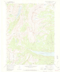
1970 Map of Homestake Reservoir
USGS Topo · Published 1973About this map
The Continental Divide serves as the backbone of this high-altitude landscape, where the headwaters of the Homestake Creek and West Tennessee Creek drain through the White River National Forest and San Isabel National Forest. This 1970 field-checked survey reveals an intricate network of industrial sub-surface engineering, dominated by several major bores including the Hagerman Tunnel, Carlton Tunnel, and the Charles H Boustead Tunnel. These engineering feats, along with the Busk-Ivanhoe Tunnel, illustrate the complex water diversion and transport history required to move resources across the divide.
Find a feature on this map
69 named features on this map. Tap any name to fly to it.
Don’t see what you’re looking for? This feature index may not catch every label — zoom into the map to look around manually.
Map Details
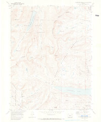
Editions of this 1970 Homestake Reservoir Map
2 editions found
Other maps of this area

1889 · Leadville
USGS Topo · 1:125,000

1891 · Leadville
USGS Topo · 1:125,000

1909 · Mount Jackson
USGS Topo · 1:125,000

1911 · Mount Jackson
USGS Topo · 1:125,000

1935 · Mount Elbert
USGS Topo · 1:62,500

1938 · Mount Elbert
USGS Topo · 1:62,500

1939 · Mount Elbert
USGS Topo · 1:62,500

1942 · Leadville
USGS Topo · 1:125,000

1949 · Holy Cross
USGS Topo · 1:62,500

1951 · Holy Cross
USGS Topo · 1:62,500