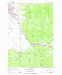
1963 Map of Homestake
USGS Topo · Published 1978About this map
Deerlodge National Forest dominates the high-altitude terrain along the Continental Divide, where the landscape transitions from the urban outskirts of Butte into steep, timbered canyons. The residential growth of Floral Park and landmarks like the Butte Country Club sit just east of the Bert Mooney-Silver Bow County Airport, marking the city's mid-century expansion. The mountain passes are defined by critical transport infrastructure, including the Burlington Northern railroad and the Chicago Milwaukee St Paul and Pacific line, which navigate the difficult topography near Homestake and Highview. Local history is preserved in the location of the Whittier Sch, the Hawthorne Sch, and the Holy Cross Cem, while the industrial character of the region is evident in the scattered Sandpit and Prospects found throughout Reese Canyon and Lucky Strike Gulch.
Find a feature on this map
53 named features on this map. Tap any name to fly to it.
Don’t see what you’re looking for? This feature index may not catch every label — zoom into the map to look around manually.
Map Details
Editions of this 1963 Homestake Map
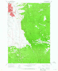
2 editions found
Other maps of this area

1889 · Helena
USGS Topo · 1:250,000

1893 · Helena
USGS Topo · 1:250,000

1893 · Dillon
USGS Topo · 1:250,000

1899 · Boulder
USGS Topo · 1:125,000

1899 · Helena
USGS Topo · 1:250,000

1903 · Helena
USGS Topo · 1:250,000

1947 · Butte
USGS Topo · 1:250,000

1954 · Elk Park
USGS Topo · 1:62,500

1955 · Dillon
USGS Topo · 1:250,000

1957 · Dillon
USGS Topo · 1:250,000