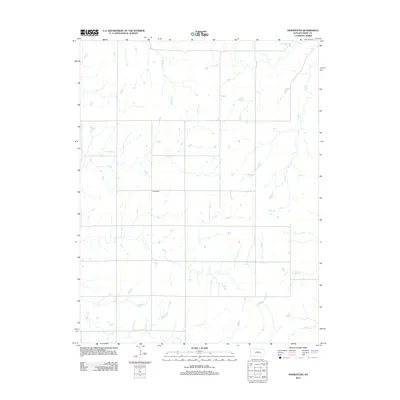
2012 Map of Homestead
USGS Topo · Published 2012About this map
Homestead sits at the center of this Chase County landscape, marking a quiet junction of rural routes and waterway crossings. The terrain is defined by a dense network of prairie drainages that flow through the agricultural grid. Primary water systems including Rock Cr and Coon Cr wind through the township, while smaller tributaries like Coyne Br, Crocker Cr, and Brush Cr reveal the natural topography beneath the section lines. This 2012 survey illustrates the enduring rural structure of the Kansas prairie, where small settlements like Homestead remain anchors for the surrounding farmsteads and ranch lands. The map detail is particularly useful for identifying specific stream crossings and property boundaries as they existed in the early twenty-first century.
Find a feature on this map
7 named features on this map. Tap any name to fly to it.
Don’t see what you’re looking for? This feature index may not catch every label — zoom into the map to look around manually.
Map Details
Editions of this 2012 Homestead Map
This is the sole edition of this map. No revisions or reprints were ever made.
Other maps of this area
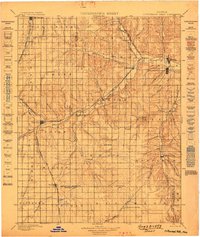
1898 · Cottonwood Falls
USGS Topo · 1:125,000
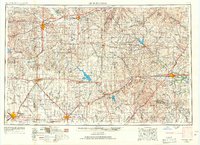
1955 · Hutchinson
USGS Topo · 1:250,000
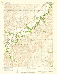
1957 · Elmdale
USGS Topo · 1:24,000
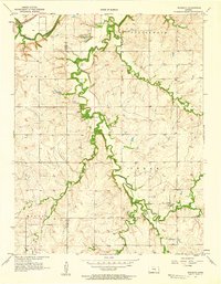
1957 · Wonsevu
USGS Topo · 1:24,000
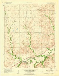
1957 · Cedar Point
USGS Topo · 1:24,000
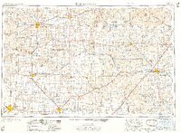
1959 · Hutchinson
USGS Topo · 1:250,000
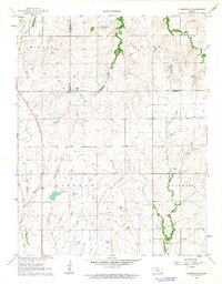
1962 · Florence SE
USGS Topo · 1:24,000
1967 · Cassoday
USGS Topo · 1:24,000
1967 · Matfield Green SE
USGS Topo · 1:24,000
1973 · Matfield Green
USGS Topo · 1:24,000