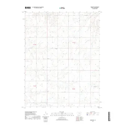
2018 Map of Homestead
USGS Topo · Published 2018About this map
Homestead sits at the center of this rural Flint Hills landscape, a small settlement defined by its connection to the surrounding agricultural land. The community is anchored by the Homestead Cem, a site of significant genealogical value for those tracing family roots in Chase County. This area is characterized by an extensive network of waterways, including Rock Cr and its tributaries such as Crocker Cr and Jack Cr, which carve through the terrain and dictate the placement of local thoroughfares. The road system is largely a grid of numbered routes like 100 Rd and 70 Rd, though names like Coyne Creek Rd and Open Range Rd reflect the older land-use patterns of the Kansas prairie. These labels highlight the persistence of ranching and farming traditions in a region where the natural drainage of creeks like Coon Cr and Brush Cr continues to shape the local geography.
Find a feature on this map
23 named features on this map. Tap any name to fly to it.
Don’t see what you’re looking for? This feature index may not catch every label — zoom into the map to look around manually.
Map Details
Editions of this 2018 Homestead Map
This is the sole edition of this map. No revisions or reprints were ever made.
Other maps of this area

1898 · Cottonwood Falls
USGS Topo · 1:125,000

1955 · Hutchinson
USGS Topo · 1:250,000

1957 · Elmdale
USGS Topo · 1:24,000

1957 · Wonsevu
USGS Topo · 1:24,000

1957 · Cedar Point
USGS Topo · 1:24,000

1959 · Hutchinson
USGS Topo · 1:250,000
1962 · Florence SE
USGS Topo · 1:24,000
1967 · Cassoday
USGS Topo · 1:24,000
1967 · Matfield Green SE
USGS Topo · 1:24,000

1973 · Matfield Green
USGS Topo · 1:24,000