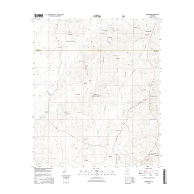
2015 Map of Homewood
USGS Topo · Published 2015About this map
Bienville National Forest dominates the central landscape of this 2015 survey, which straddles the boundary between Scott and Smith Counties. This rural corridor is defined by a series of small, traditional communities including Lingle, Wicker, and Lorena, interconnected by a network of county roads like Smith Co Rd 502. The mapping detail focuses heavily on genealogical markers, identifying numerous small family and church-affiliated burial grounds such as Derrick Cem, Black Cem, and Zion Cem. The topography is shaped by a dense drainage system where the Strong River and Oakohay Creek receive various tributaries like Beech Branch and Yellow Bill Creek. This drainage pattern suggests a landscape of narrow ridges and creek bottoms that has historically dictated the placement of homesteads and small-scale agriculture throughout the region.
Find a feature on this map
72 named features on this map. Tap any name to fly to it.
Don’t see what you’re looking for? This feature index may not catch every label — zoom into the map to look around manually.
Map Details
Editions of this 2015 Homewood Map
This is the sole edition of this map. No revisions or reprints were ever made.
Other maps of this area

1921 · Forest
USGS Topo · 1:48,000

1922 · Forest
USGS Topo · 1:62,500

1922 · Morton
USGS Topo · 1:48,000

1924 · Morton
USGS Topo · 1:62,500

1935 · White Oak
USGS Topo · 1:24,000

1950 · Forest
USGS Topo · 1:62,500

1951 · Morton
USGS Topo · 1:62,500

1952 · Forest
USGS Topo · 1:62,500

1953 · Meridian
USGS Topo · 1:250,000

1957 · Meridian
USGS Topo · 1:250,000