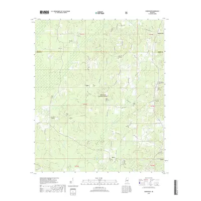
2018 Map of Homewood
USGS Topo · Published 2018About this map
Bienville National Forest dominates this central Mississippi landscape, where the pine-and-hardwood timberlands meet a network of small family farming communities and crossroads. The map documents the boundary between Scott and Smith Counties, centering on the rural settlements of Lingle, Lorena, Trenton, and Burns. This area is characterized by an exceptionally high density of historic religious and burial sites, which serve as the primary anchors for local history and genealogy.
Find a feature on this map
87 named features on this map. Tap any name to fly to it.
Don’t see what you’re looking for? This feature index may not catch every label — zoom into the map to look around manually.
Map Details
Editions of this 2018 Homewood Map
This is the sole edition of this map. No revisions or reprints were ever made.
Other maps of this area

1921 · Forest
USGS Topo · 1:48,000

1922 · Forest
USGS Topo · 1:62,500

1922 · Morton
USGS Topo · 1:48,000

1924 · Morton
USGS Topo · 1:62,500

1935 · White Oak
USGS Topo · 1:24,000

1950 · Forest
USGS Topo · 1:62,500

1951 · Morton
USGS Topo · 1:62,500

1952 · Forest
USGS Topo · 1:62,500

1953 · Meridian
USGS Topo · 1:250,000

1957 · Meridian
USGS Topo · 1:250,000