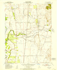
1952 Map of Honcut
USGS Topo · Published 1954About this map
Honcut lies at the center of this agricultural landscape in the early 1950s, where the convergence of North Honcut Creek and South Honcut Creek defines the local drainage. The area is heavily influenced by its proximity to the Feather River and the complex system of levees protecting the low-lying orchards and fields. Industrial and commercial transport is anchored by two major rail lines, the Western Pacific and Southern Pacific, which run roughly parallel through the territory. Rural life is marked by specific locales like Robinsons Corner and Phillips Corner, along with larger operations such as La Finca Orchards and the Pacific Ranch. The map also captures several local thoroughfares including Ramirez Road and Lone Tree Road, illustrating the established grid of early California Central Valley ranching and farming.
Find a feature on this map
31 named features on this map. Tap any name to fly to it.
Don’t see what you’re looking for? This feature index may not catch every label — zoom into the map to look around manually.
Map Details
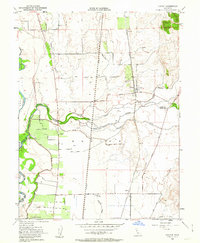
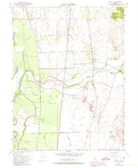
Editions of this 1952 Honcut Map
3 editions found
Other maps of this area

1888 · Marysville
USGS Topo · 1:125,000

1888 · Smartsville
USGS Topo · 1:125,000

1891 · Marysville
USGS Topo · 1:125,000

1891 · Smartsville
USGS Topo · 1:125,000

1892 · Smartsville
USGS Topo · 1:125,000

1894 · Smartsville
USGS Topo · 1:125,000

1894 · Marysville
USGS Topo · 1:125,000

1895 · Marysville
USGS Topo · 1:125,000

1895 · Smartsville
USGS Topo · 1:125,000

1911 · Sutter
USGS Topo · 1:31,680