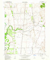
1952 Map of Honcut
USGS Topo · Published 1963About this map
Agricultural lands and riparian corridors dominate this mid-century landscape where Butte, Yuba, and Sutter counties meet. The complex drainage of Honcut Creek splits into North and South branches, flowing westward toward the Feather River. Transportation is anchored by parallel rail lines, with the Western Pacific and Southern Pacific railroads cutting north-south through the valley floor. Small community hubs like Honcut, Ramirez, and Craig are situated along these tracks, serving the surrounding orchards and ranchlands. The map reveals a highly engineered water landscape, featuring the Cordua Canal, numerous levees, and localized irrigation efforts such as those at La Finca Orchards. Local social and economic landmarks are evident in the inclusion of the Section 7 Gun Club and several family-named junctions like Robinsons Corner and Phillips Corner.
Find a feature on this map
35 named features on this map. Tap any name to fly to it.
Don’t see what you’re looking for? This feature index may not catch every label — zoom into the map to look around manually.
Map Details
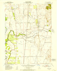
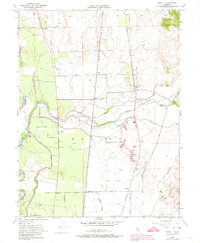
Editions of this 1952 Honcut Map
3 editions found
Other maps of this area

1888 · Marysville
USGS Topo · 1:125,000

1888 · Smartsville
USGS Topo · 1:125,000

1891 · Marysville
USGS Topo · 1:125,000

1891 · Smartsville
USGS Topo · 1:125,000

1892 · Smartsville
USGS Topo · 1:125,000

1894 · Smartsville
USGS Topo · 1:125,000

1894 · Marysville
USGS Topo · 1:125,000

1895 · Marysville
USGS Topo · 1:125,000

1895 · Smartsville
USGS Topo · 1:125,000

1911 · Sutter
USGS Topo · 1:31,680