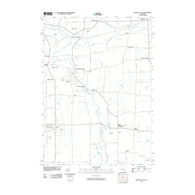
2010 Map of Honeoye Falls
USGS Topo · Published 2010About this map
Honeoye Creek carves a winding path through the heart of this region, connecting the primary settlements of Honeoye Falls and North Bloomfield. The landscape is a network of named intersections and small rural hamlets including Mendon Center, Sibleyville, and West Bloomfield. This era reveals a territory deeply rooted in its local history, evidenced by a high density of burial grounds such as the Quaker Cemetery, Miller Cemetery, and several church-affiliated sites in Lima, including Saint Rose Cemetery and the Old Methodist Cemetery.
Find a feature on this map
68 named features on this map. Tap any name to fly to it.
Don’t see what you’re looking for? This feature index may not catch every label — zoom into the map to look around manually.
Map Details
Editions of this 2010 Honeoye Falls Map
This is the sole edition of this map. No revisions or reprints were ever made.
Other maps of this area

1895 · Rochester
USGS Topo · 1:62,500

1898 · Rochester
USGS Topo · 1:62,500

1900 · Macedon
USGS Topo · 1:62,500

1900 · Canandaigua
USGS Topo · 1:62,500

1901 · Honeoye
USGS Topo · 1:62,500

1903 · Canandaigua
USGS Topo · 1:62,500

1904 · Honeoye
USGS Topo · 1:62,500

1912 · Rochester
USGS Topo · 1:62,500

1920 · Rochester
USGS Topo · 1:62,500

1931 · Mendon Ponds
USGS Topo · 1:24,000