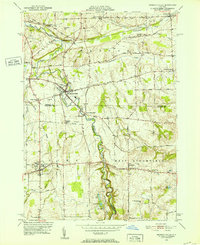
1951 Map of Honeoye Falls
USGS Topo · Published 1952About this map
Honeoye Falls serves as the focal point of this mid-century survey, where the Lehigh Valley Railroad and Honeoye Creek intersect. The landscape reveals a post-war rural economy transitioning between agriculture and early suburbanization, anchored by established hamlets like North Bloomfield and Sibleyville. Local history and genealogy are well-represented by numerous family and community burial grounds, including the Quaker Cem, Chamberlain Cem, and Pioneer Cem.
Find a feature on this map
46 named features on this map. Tap any name to fly to it.
Don’t see what you’re looking for? This feature index may not catch every label — zoom into the map to look around manually.
Map Details
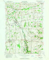
Editions of this 1951 Honeoye Falls Map
2 editions found
Other maps of this area

1895 · Rochester
USGS Topo · 1:62,500

1898 · Rochester
USGS Topo · 1:62,500

1900 · Macedon
USGS Topo · 1:62,500

1900 · Canandaigua
USGS Topo · 1:62,500

1901 · Honeoye
USGS Topo · 1:62,500

1903 · Canandaigua
USGS Topo · 1:62,500

1904 · Honeoye
USGS Topo · 1:62,500

1912 · Rochester
USGS Topo · 1:62,500

1920 · Rochester
USGS Topo · 1:62,500

1931 · Mendon Ponds
USGS Topo · 1:24,000