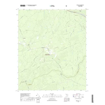
2020 Map of Honey Hill
USGS Topo · Published 2020About this map
Francis Marion National Forest dominates this Lowcountry landscape, where the cypress-shaded wetlands of the Wambaw Swamp and Coffee Creek Swamp define the local geography. Small settlements like Honey Hill and Newland are connected by a network of forest roads and historic routes, including French Santee Rd and Old Cemetery Rd. The map illustrates the area's transition into a protected recreational landscape, featuring the Wambaw Creek Canoe Trail and the Wambaw Cycle Trail. Along the northern boundary, the Santee River flows past Wadmacon Island, marking the border with Georgetown County. Landmarks such as Charlie Bridges and Palmer Bridges pinpoint specific crossings over the intricate network of creeks like Echaw Cr and Cane Br.
Find a feature on this map
62 named features on this map. Tap any name to fly to it.
Don’t see what you’re looking for? This feature index may not catch every label — zoom into the map to look around manually.
Map Details
Editions of this 2020 Honey Hill Map
This is the sole edition of this map. No revisions or reprints were ever made.
Other maps of this area

1942 · Cedar Creek
USGS Topo · 1:24,000

1942 · Mc Clellanville
USGS Topo · 1:24,000

1942 · Honey Hill
USGS Topo · 1:24,000

1943 · Shulerville
USGS Topo · 1:24,000

1943 · Kilsock Bay
USGS Topo · 1:24,000

1943 · Jamestown
USGS Topo · 1:24,000

1943 · Santee
USGS Topo · 1:24,000

1943 · Awendaw
USGS Topo · 1:24,000

1943 · Ocean Bay
USGS Topo · 1:24,000

1949 · Georgetown
USGS Topo · 1:250,000