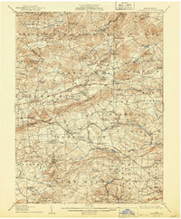
1907 Map of Honeybrook
USGS Topo · Published 1944About this map
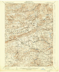
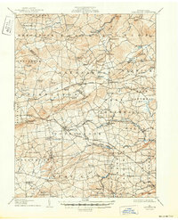
Joanna Furnace stands as a primary industrial landmark in this region where Berks, Chester, and Lancaster counties meet. Surveyed in the early 20th century, the landscape is defined by the crossing of the Pennsylvania RR and several turnpike divisions through the Welsh Mountain and Barren Hills. Small agricultural and industrial settlements like Honeybrook, Morgantown, and Elverson are connected by a dense network of country roads, while the headwaters of Conestoga Creek and Brandywine Creek drain the valleys. Genealogists will find a wealth of specific local landmarks, including the Harmony Church, Stone Church, and numerous rural schoolhouses such as the Maxwell School and Silver Hill School. The presence of rail stops like White Bear Sta and Geigertown Sta illustrates the era's reliance on steam transport to connect these upland communities to larger markets.
Find a feature on this map
103 named features on this map. Tap any name to fly to it.
Don’t see what you’re looking for? This feature index may not catch every label — zoom into the map to look around manually.
Map Details
Editions of this 1907 Honeybrook Map
7 editions found

Other maps of this area

1894 · Reading
USGS Topo · 1:62,500

1901 · West Chester
USGS Topo · 1:62,500

1902 · Boyertown
USGS Topo · 1:62,500

1902 · Wernersville
USGS Topo · 1:62,500

1904 · West Chester
USGS Topo · 1:62,500

1904 · Coatesville
USGS Topo · 1:62,500

1905 · Honey Brook
USGS Topo · 1:62,500

1906 · Phoenixville
USGS Topo · 1:62,500

1906 · Coatesville
USGS Topo · 1:62,500

1906 · New Holland
USGS Topo · 1:62,500