
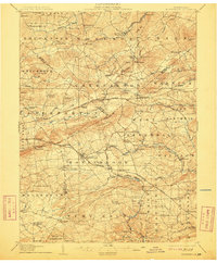
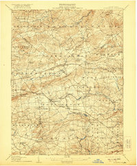
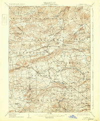
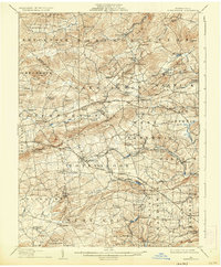
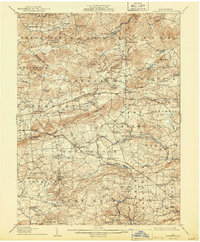
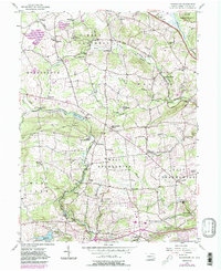
1907 Map of Honeybrook
USGS Topo · Published 1907This historical map portrays the area of Honeybrook in 1907, primarily covering Chester County as well as portions of Lancaster County and Berks County. Featuring a scale of 1:62500, this map provides a highly detailed snapshot of the terrain, roads, buildings, counties, and historical landmarks in the Honeybrook region at the time. Published in 1907, it is one of 7 known editions of this map due to revisions or reprints.
Find a feature on this map
107 named features on this map. Tap any name to fly to it.
Don’t see what you’re looking for? This feature index may not catch every label — zoom into the map to look around manually.
Map Details
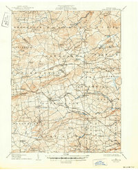
Editions of this 1907 Honeybrook Map
7 editions found
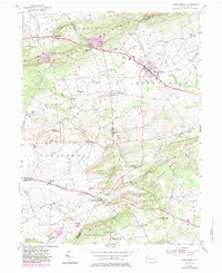
Historical Maps of Beartown Through Time
9 maps found

1905 Honey Brook
Chester County, PA
1907 Honeybrook
Chester County, PA

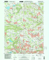
1941 Honeybrook
Chester County, PA
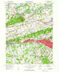
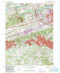
1952 Valley Forge
Chester County, PA
1955 Honey Brook
Chester County, PA
1956 Wagontown
Chester County, PA
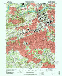
1966 Valley Forge
Chester County, PA
1992 Valley Forge
Chester County, PA
1999 Wagontown
Chester County, PA