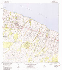
1983 Map of Honokaa
USGS Topo · Published 1983About this map
Honokaa serves as the focal point for this coastal landscape on the Big Island, illustrating the agricultural and transport patterns of the early 1980s. The settlement's relationship with the shoreline is marked by historical maritime access points like Honokaa Landing and Paauhau Landing, while the inland economy is defined by the Lower Hamakua Ditch and its complex system of flumes and water tanks.
Find a feature on this map
28 named features on this map. Tap any name to fly to it.
Don’t see what you’re looking for? This feature index may not catch every label — zoom into the map to look around manually.
Map Details
Editions of this 1983 Honokaa Map
2 editions found
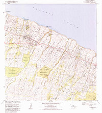
Other maps of this area

1915 · Hamakua
USGS Topo · 1:62,500

1916 · Waipio
USGS Topo · 1:62,500

1954 · Hawaii North
USGS Topo · 1:250,000

1956 · Keanakolu
USGS Topo · 1:24,000

1956 · Makahalau
USGS Topo · 1:24,000

1956 · Umikoa
USGS Topo · 1:24,000

1957 · Kukaiau
USGS Topo · 1:24,000

1957 · Honokaa
USGS Topo · 1:24,000

1959 · Hawaii North
USGS Topo · 1:250,000

1961 · Hawaii North
USGS Topo · 1:250,000