
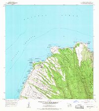
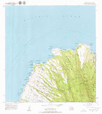
1956 Map of Honolua
USGS Topo · Published 1959About this map
Heakalani Heiau sits prominently near the coast on this mid-century survey of Maui’s northwestern tip, a reminder of the cultural landscape existing alongside the growing infrastructure of the 1950s. The coastline is defined by a series of dramatic points and bays, from Honolua Bay and Honokahua Bay down to Napili Bay, while the interior rises sharply toward the West Maui Forest Reserve and peaks like Puu Kaeo.
Find a feature on this map
76 named features on this map. Tap any name to fly to it.
Don’t see what you’re looking for? This feature index may not catch every label — zoom into the map to look around manually.
Map Details
Editions of this 1956 Honolua Map
3 editions found
Other maps of this area

1952 · Halawa
USGS Topo · 1:24,000

1954 · Maui
USGS Topo · 1:250,000

1955 · Wailuku
USGS Topo · 1:24,000

1955 · Kahakuloa
USGS Topo · 1:24,000

1956 · Lahaina
USGS Topo · 1:24,000

1966 · Maui
USGS Topo · 1:250,000

1968 · Halawa
USGS Topo · 1:24,000

1974 · Maui
USGS Topo · 1:250,000

1977 · Wailuku
USGS Topo · 1:24,000
1978 · Lahaina
USGS Topo · 1:24,000